Resource Library
There's a lot to know about NoMa, and we've collected the most important pieces here: planning and economic development data; studies and research reports; maps and guides; and so much more.
Navigating NoMa

Retail Map
NoMa Retailers. Existing & Coming Soon. Updated Regularly. Latest: April 2024.


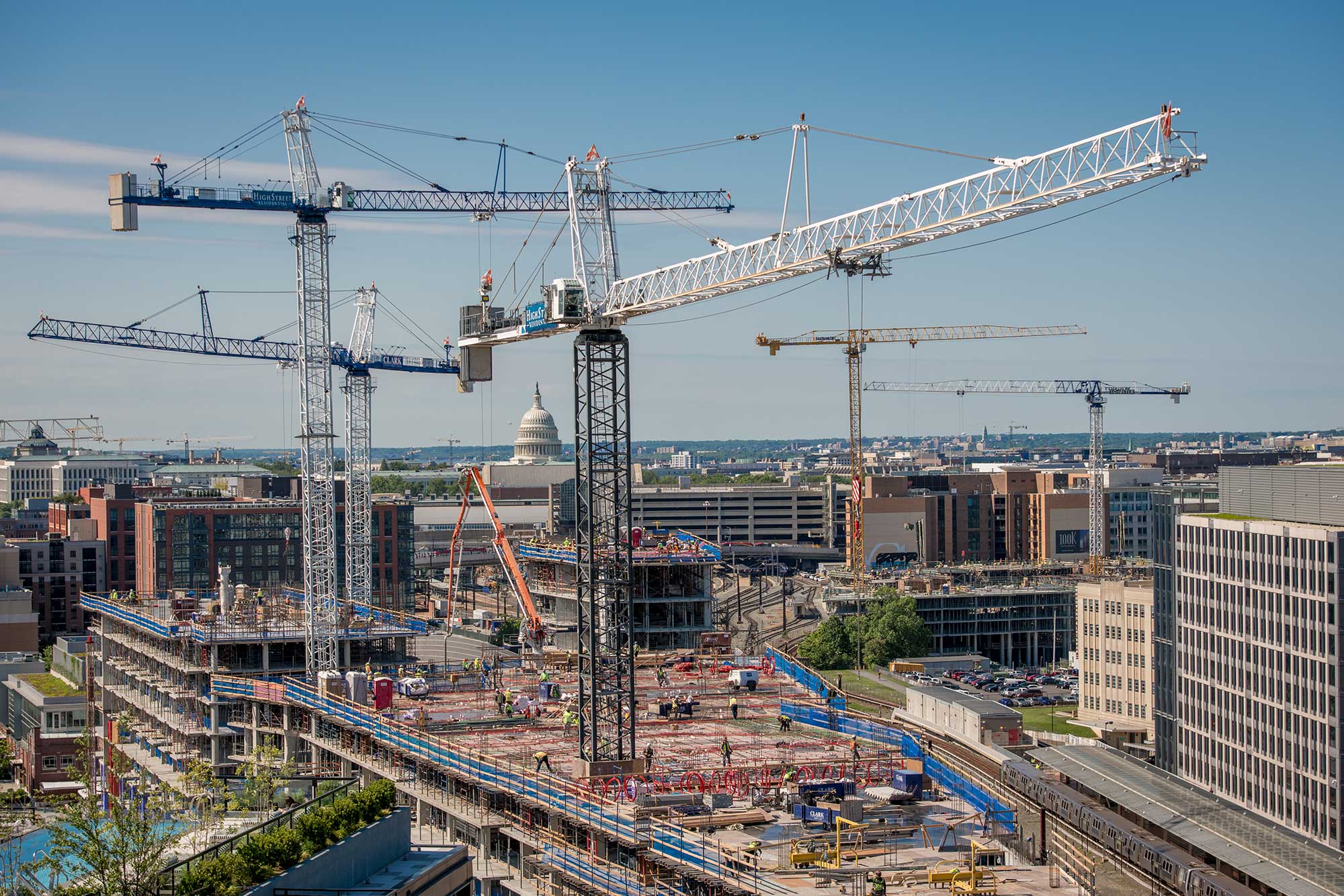
Development Map
New construction and planned development. Updated regularly. Latest: March 2023.


NoMa Boundary Maps
Map delineating BID boundaries. Created at NoMa BID’s establishment in 2007.


NoMa Neighborhood Guide
Interactive map of amenities, attractions, and transit in and around NoMa. Updated regularly.


NoMa Parking Map
Parking locations throughout the neighborhood.


NoMa Today
A quick overview of the NoMa neighborhood. Latest: February 2020.
NoMa Fundamentals


NoMa Neighborhood Access Study
DDOT transportation-improvement study. Published 2010.


NoMa Public Realm Design Plan
Plan outlining the potential for great public spaces in NoMa. Published in 2012.


NoMa Vision Plan & Development Strategy
D.C. Office of Planning’s vision for the future of the NoMa neighborhood. Published in 2006.


Streetscape Guidelines
A tool to help transform NoMa’s streets into linear parks. Read the summary here. Published in 2017.
Transportation & Public Space


NoMa-Gallaudet U Metro Study: Success Built on Transit
Analysis of the NoMa Metro stop’s impact one decade after its opening. Published in 2014.


ULI Washington TAP Report on the Virtual Circle
Recommendations for the New York Avenue / Florida Avenue / First Street NE intersection. Published in 2019.


Capitol Street Needs Assessment
Study of safety and public space needs from Massachusetts Avenue to R Street. Published in 2019.


Metropolitan Branch Trail Safety and Access Study
Study of safety and accessibility on the MBT. Published in 2015.